Behavioural, Ecological and Socio-economic
Tools for Modelling Agricultural Policy
#BESTMAP_CaseStudies - The Humber Region, UK
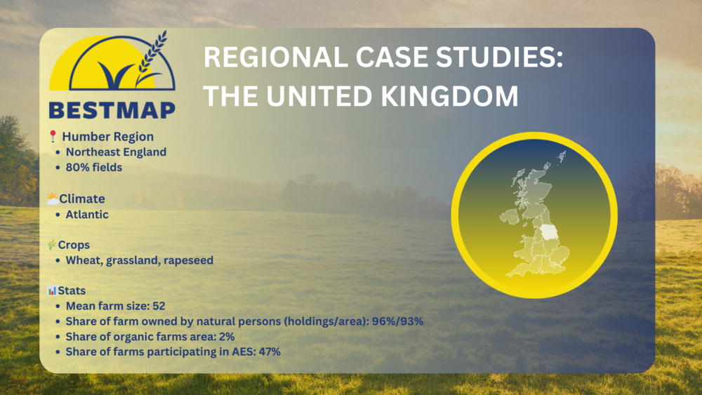
Situated in the northeastern part of England, the Humber region plays a significant role in the convergence of culture, agriculture, and nature. Agriculture dominates a substantial portion of its expansive land, accounting for roughly 80% of the region.
The Humber region features varied topography, including flat peatlands and rolling terrains. This topographic diversity influences a wide array of agricultural practices, fostering distinct ecosystems and farming methods. Livestock, including pigs, sheep, and cattle, are central to the region's agriculture. They graze on lush pastures, supporting the local farming economy and upholding traditional British farming traditions.
The intensive use of agricultural land in the Humber region, as in much of the UK, raises environmental challenges. With a significant portion of the country's land dedicated to farming, the environmental footprint is substantial.
Of particular note, the Humber region serves as a focal point for an ongoing agricultural research spearheaded by BESTMAP. This comprehensive study centers around the evaluation of Agri-Environmental Practices (AEPs) within several regions across Europe, including the Humber region, with the overarching goal of aligning agricultural productivity with environmental sustainability.